Invaders of Texas Login
Report invasives
with the new
Invaders App
Sign up for the iWire to get breaking news, event info and the species spotlight.
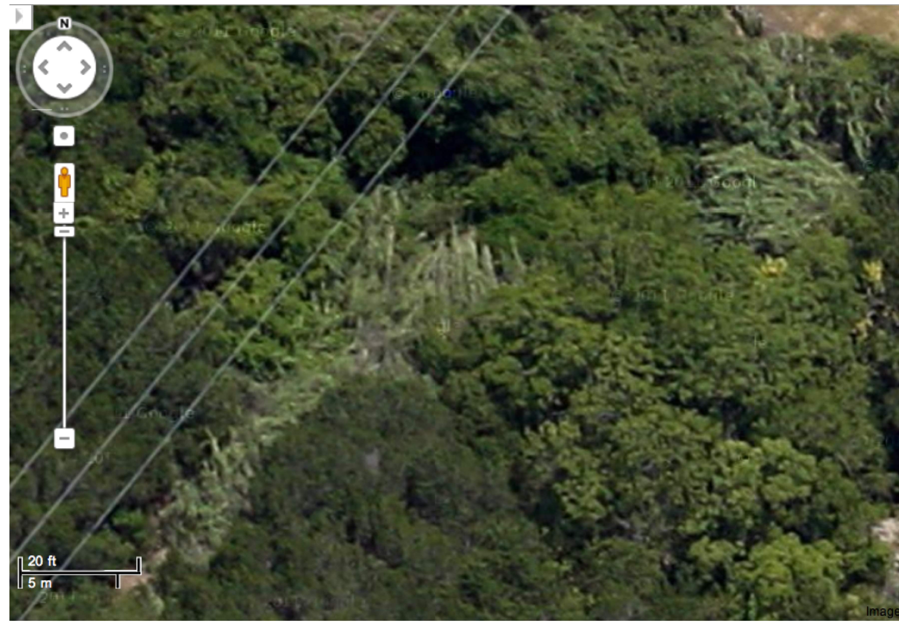
Species Observation #16186
Arundo donax - Giant reed
| Species Data | Collection Data | Validation |
USDA Code: ARDO4 Patch Type: Polygon Abundance: Common Disturbance: None |
Collector: Cliff Tyllick Satellite: Walnut Creek Wild Date: 2012-06-17 Time: 5.0 minutes Location Error: 8 |
Validated: Yes Date: 2012-10-06 By: JDS |
Collection Notes: Southern extreme of this essentially circular polygon as determined from the distinctive signature of Arundo donax in satellite imagery. Photo is actually from a trailside specimen. For the other extremes of this polygon, see observations 16183–16185.
View Larger Photo
Texasinvasives.org hosted and maintained by the Texas Invasive Species Institute, SHSU, Huntsville, TX. © Texas Invasive Plant and Pest Council